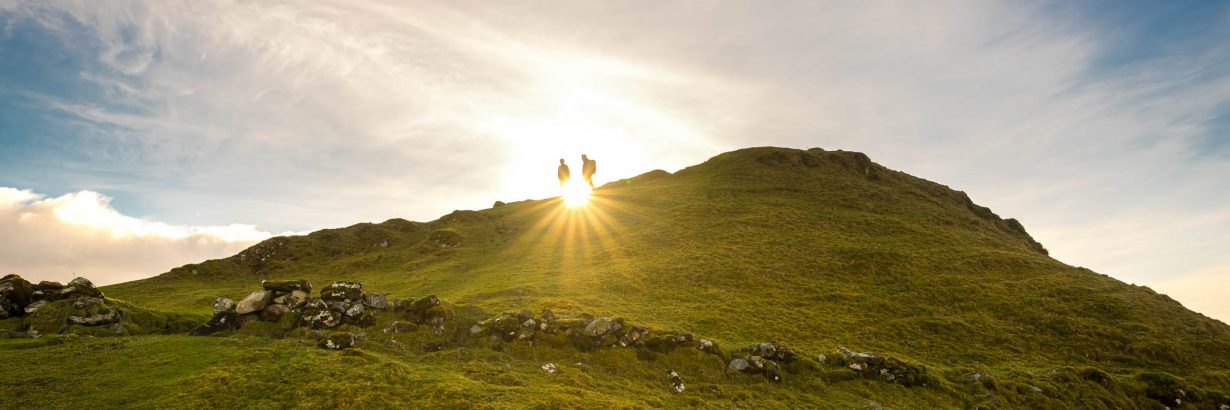
We had the great Honour to be some of the first people walking the Hebridean Way in its new Foot-Edition.
The Hebridean Way is a well known goal for cyclists from all over Europe. It is new, that there is a footpath version of this stunning way. The Idea was to create a long distance trail all across the Outer Hebrides in Scotland. The trail starts on Vatersay and crosses almost all the islands of the Outer Hebrides until it reaches Stornoway.
We did the ways first half on the soutchern islands, so we started in Barra and walked all the way up to Leverburgh, from where we took a bus to Stornoway.
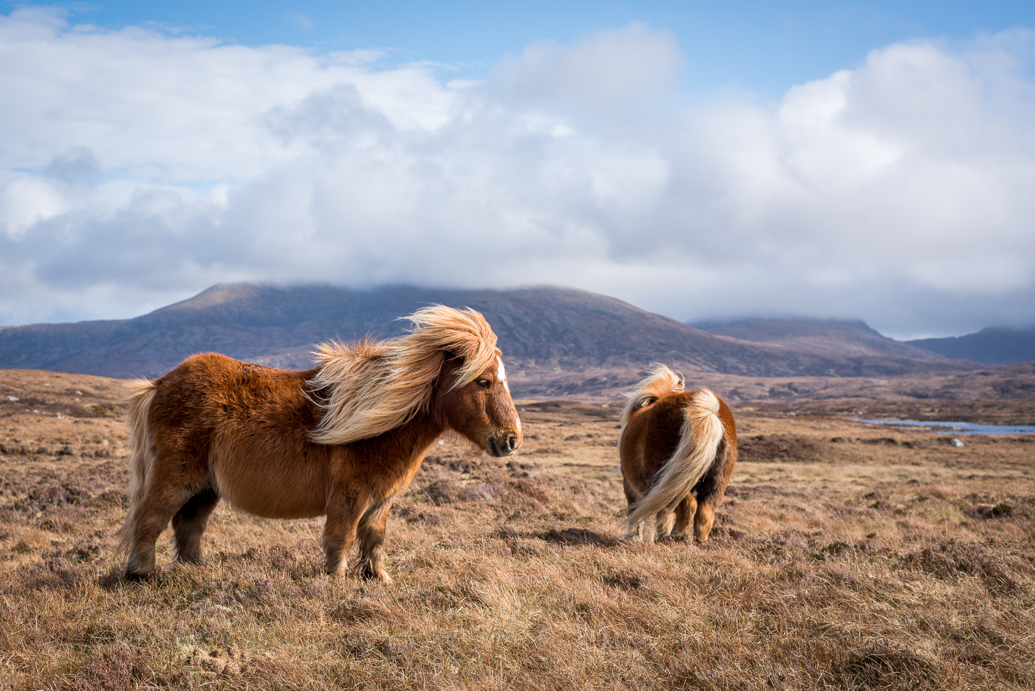
Most of the time the path is well marked, but when we did the trail, there also have been parts that lead through wayless moor areas where we could not find a single marker post. The most islands are connected by causeways, but you must take a ferry from Barra to Vatersay and from Berneray to Harris.
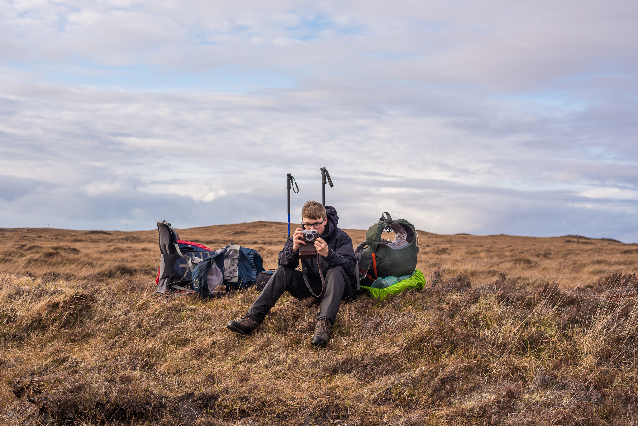
Due to my non existing skills in english language i will just show you some photos and write a bit about the way.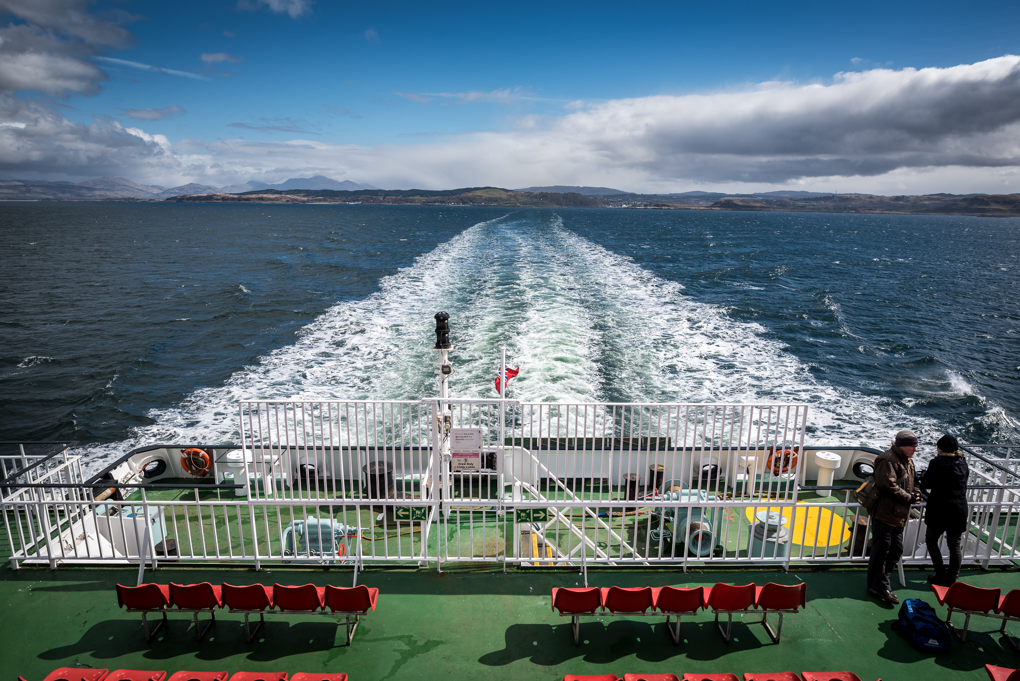
Getting there
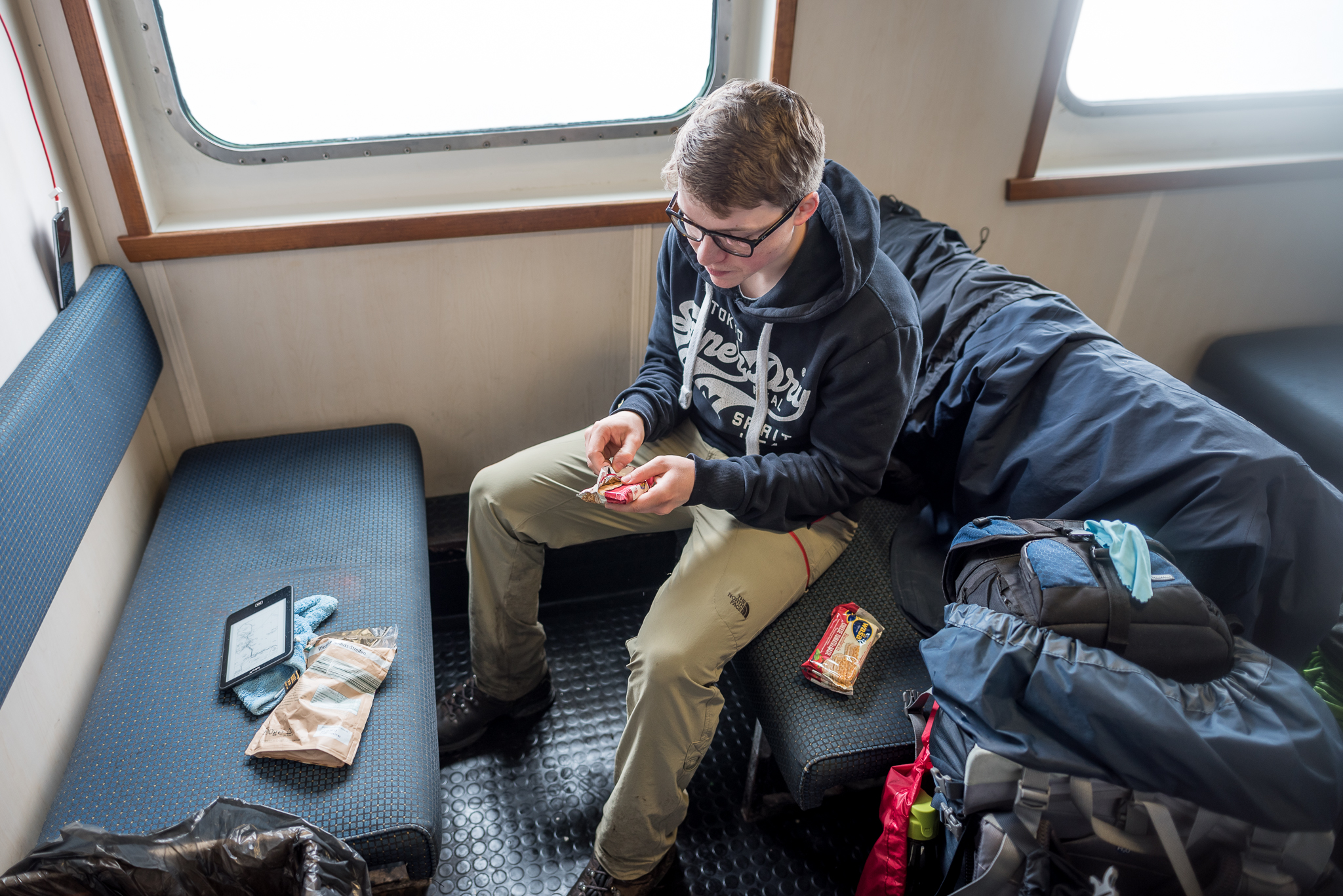
The jorney started in Edinburgh, we decided to take a plane to Edi, because it is much cheaper than flying to Glasgow wich would be closer to the hebrides. After arriving in Edinburgh, we took a bus to Glasgow, where we spent a night (slept at Z hotel, a cheap and clean accomodation). The next morning we got up quite early and took a bus to Oban (there is also a train from Glasgow to Oban, but it was out of service when we travelled) in Oban we took the 13 o’clock ferry to Barra. It was not necessary to book the ferry tickets and although the ferryride takes 5 hours we just paid 15 pound per person.
Barra
We arrived in castlebay at 18 o’clock and we decided to start walking from here (the original hebridean way starts on vatersay, which is a 20 min bus ride from castlebay. But we directly started walking and skipped Vatersay. The weather was quite bad, but we were fully motivated and made a few miles until it got too dark.
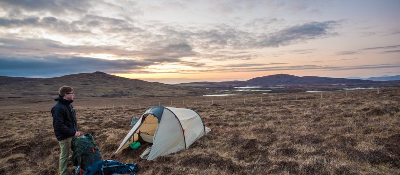
The guidebooks about the Hebway always talk about hostels or hotels as accomodation, but we had a tent with us so we were camping most of the nights.
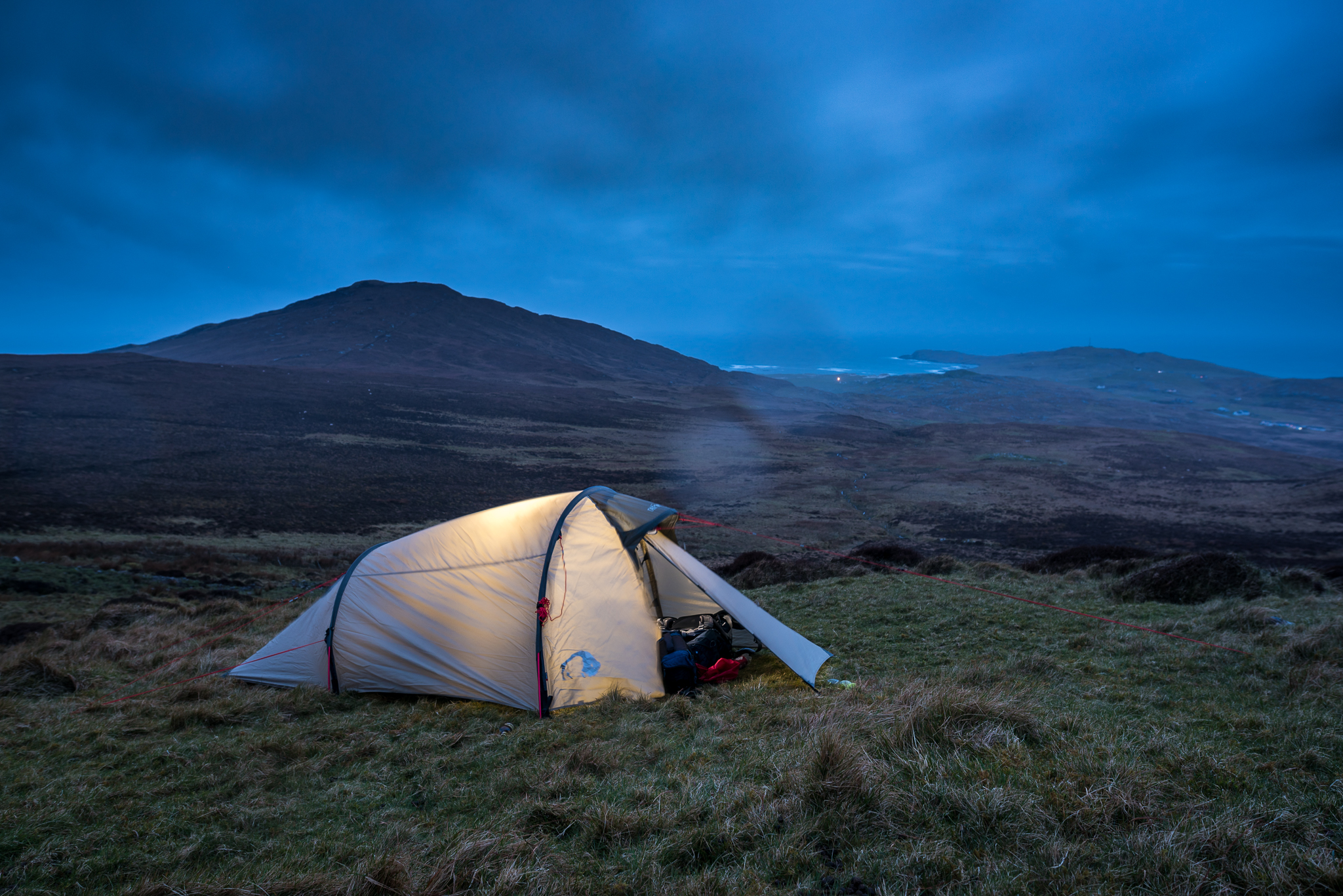
In the first night, we put the tent up on a mountain on barra, quite a wet and uneven place, but we had no other option and at least the view was brilliant.
The next day we kept on walking through the wet landscape of barra and we were a bit in a hurry because we wanted to catch an early ferry to Eriskay, which is the next island the way leads us to. The way across barra wasn’t quite easy because there was no path or something, there were only marker posts with the Hebway Logo on them. It was really good, that we had a gps reciever and also a map with us. I’m shure that we would have had bigger problems with orientation.
Eriskay-South Uist
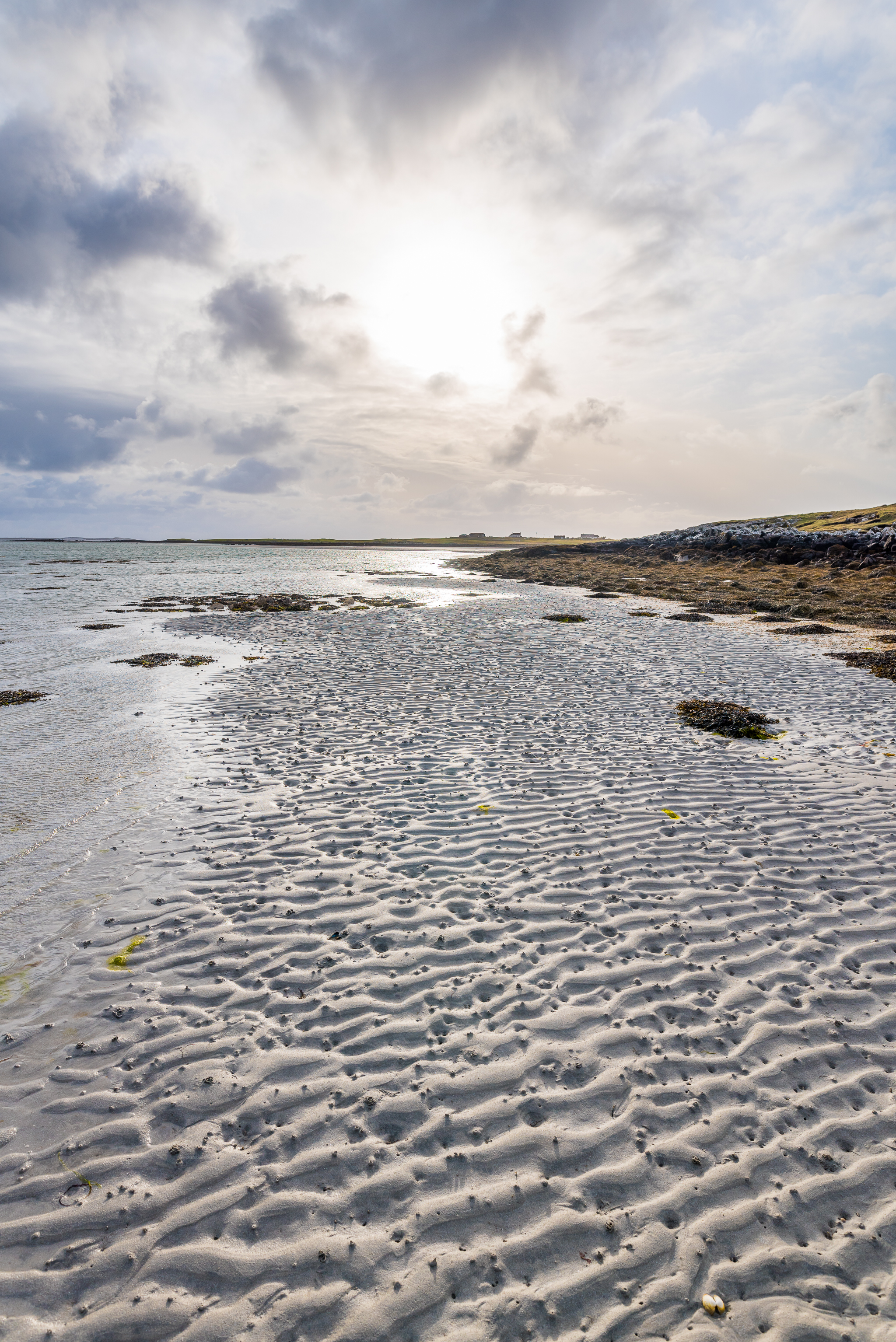
After drying our clothes in the Ferry (and also in the ferry terminal on Eriskay) we kept on walking. The patch lead across white beaches all along the western coast of South Harris. Must be a lovely walk if the weather is good. When we were there it wasn’t. Finally we put our tent up somewhere in the dunes. And we prayed for better weather.
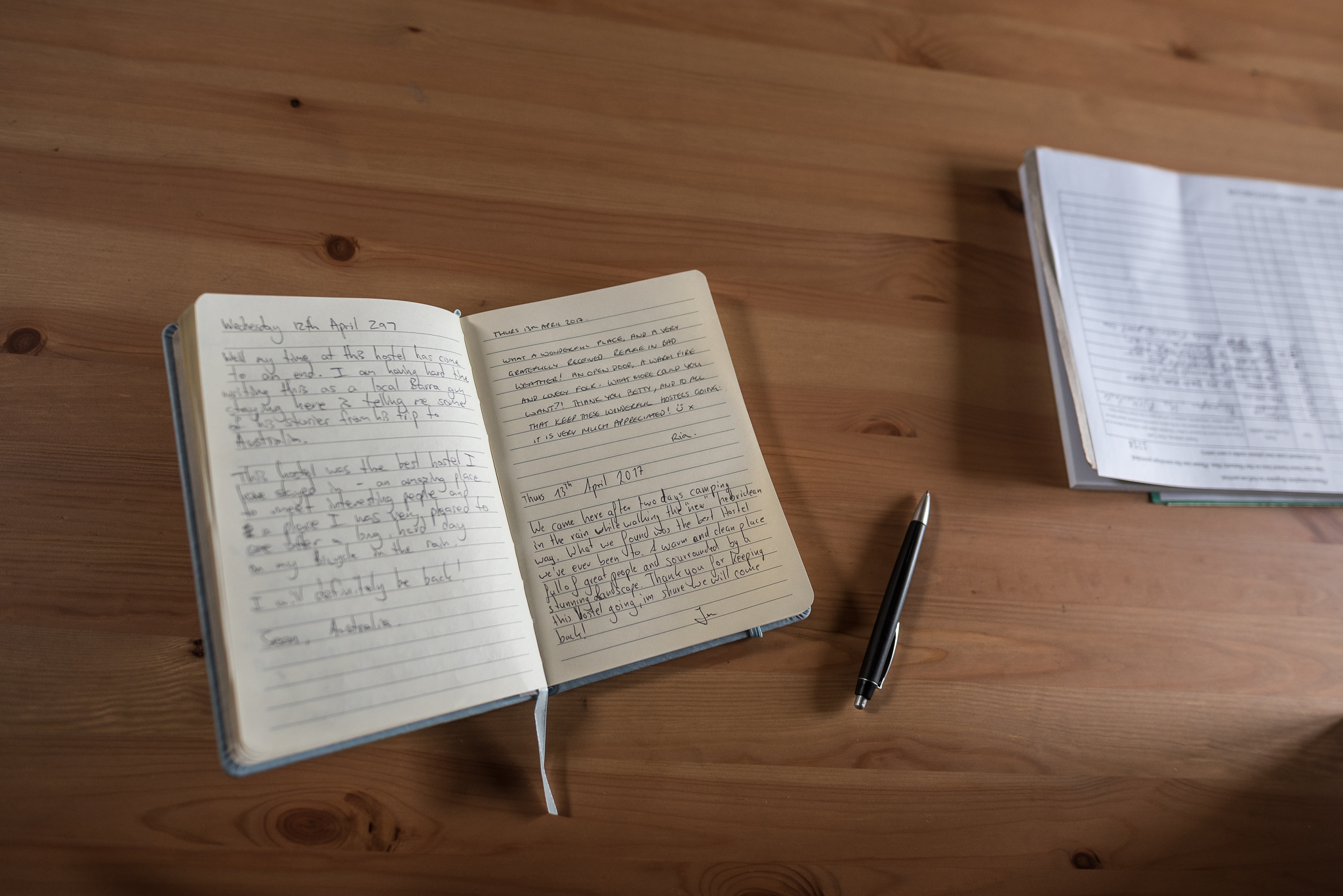
Howmore Hostel
After the second night the path still follows the western shore, until we reached howmore. A Kingdom fr a hostel was the first thought i had. After two nights in the wet and could nature we were quite happy to find a safe and warm place to spend some time. The Hostel is raised by the Gatliff trust, they have some more Hostels on the hebrides and these places are just awesome.

We spent one night there and met lovely people who shared their food with us and who encouraged us to keep on walking.
South Uist
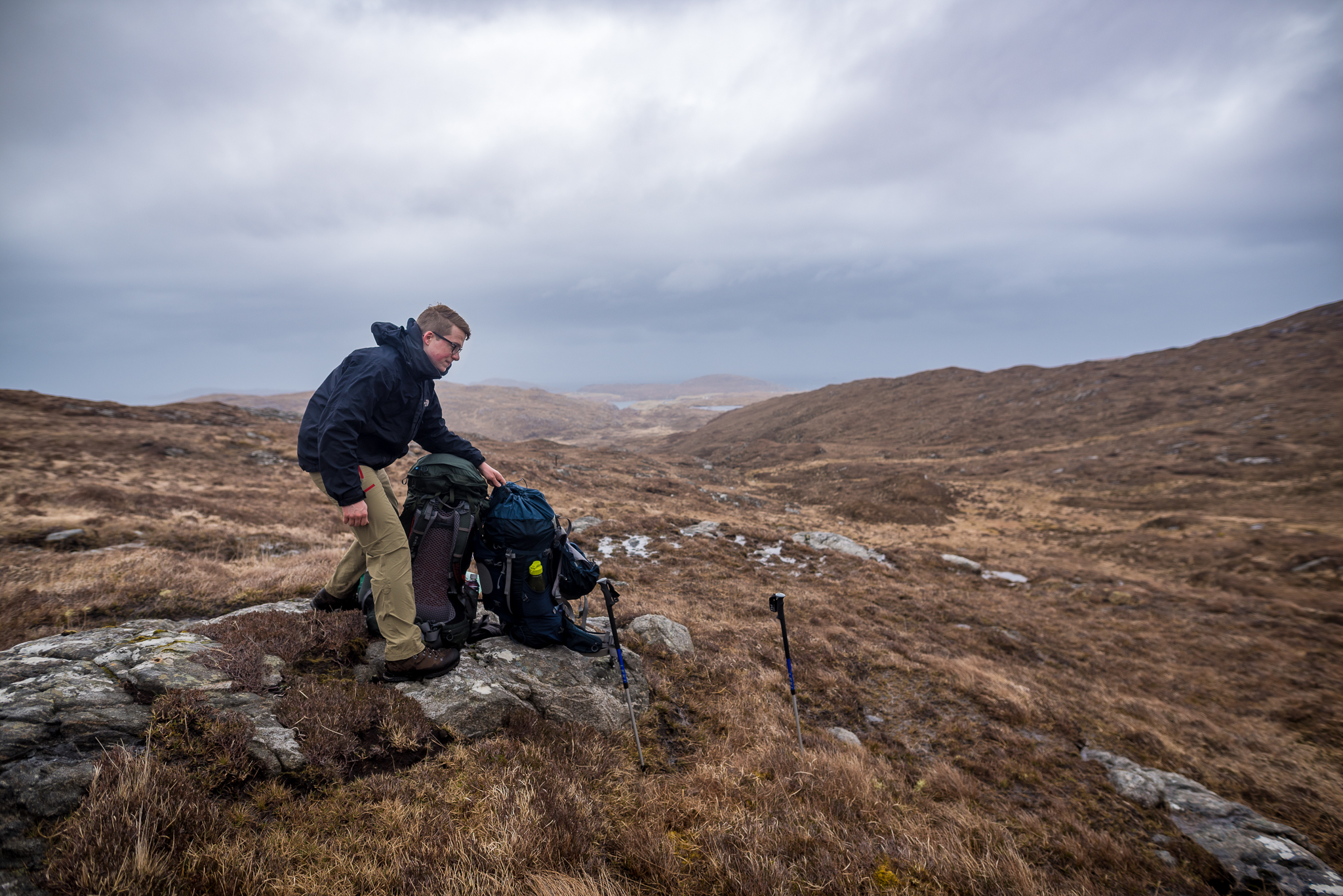
After a warm and dry night, we kept on walking the Hebridean way. Luckily some of the people we met at the hostel decided to drive to the area where the path lead us this day. They took our backpacks so being back on the Hebway was not too difficult for us. The path lead through the moor, without a real footpath. We just followed marker posts most of the time. We also put our tent up somewhere in the moor, which is not that easy, because there aren’t so many dry places in a moor…
Benbecula
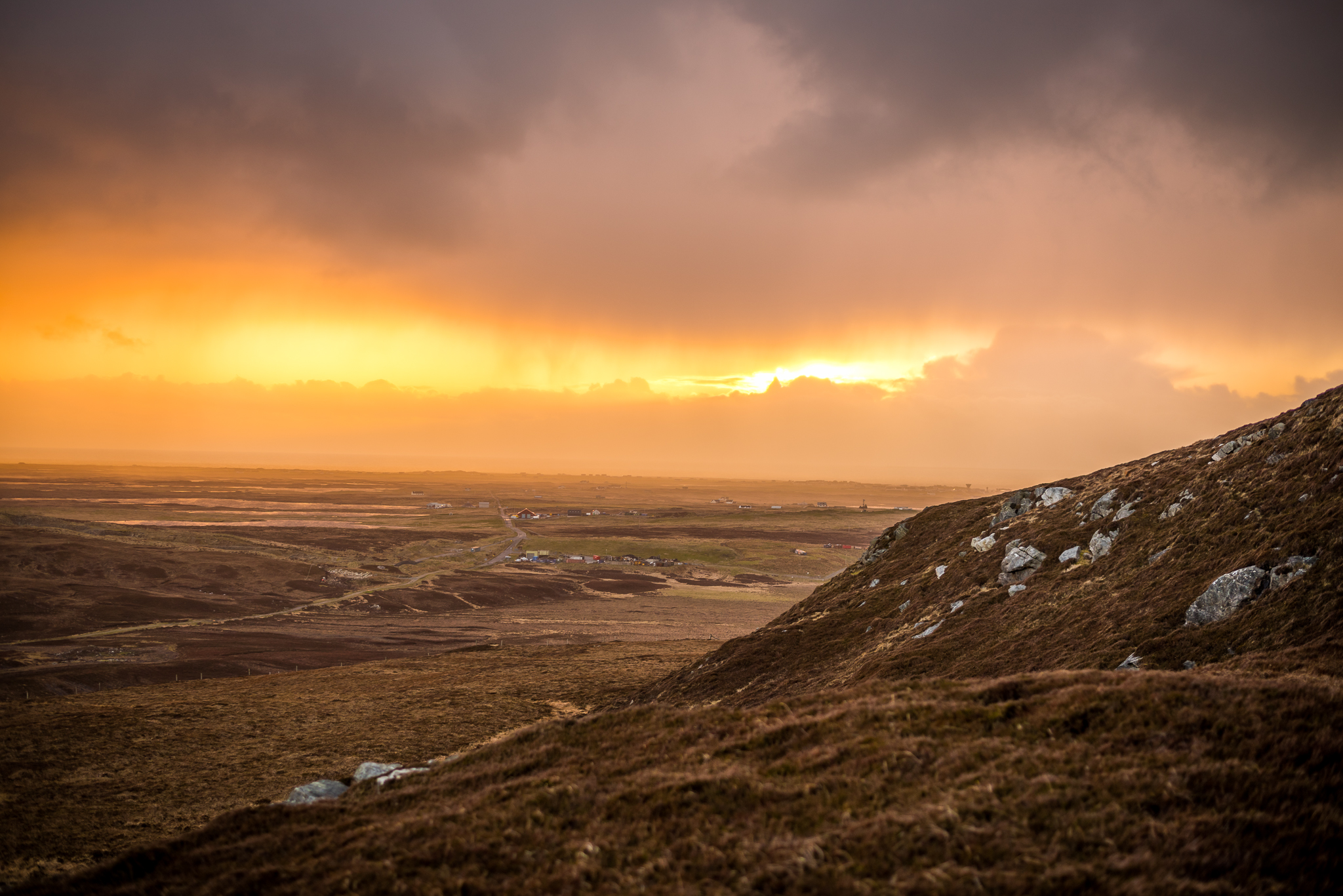
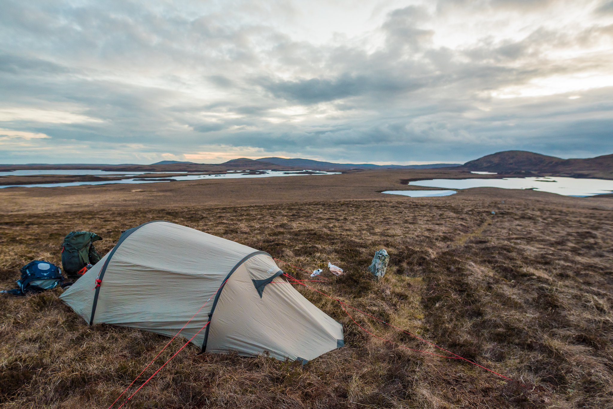
When we left South Uist, the track kept on following the shoreline for many kilometers, which is quite a nice variety to the boggy days before. We wanted to go to a hostel (Nunton House) which was told to be a really nice place to stay, but unfortunately it was closed when we arrived there. Luckily, we had our tent with us, so we kept on walking and spent the night on a mountain on Benbecula. Quite a windy place, but we had a breathtaking sunset.
North Uist
Maybe the last days weather has been to bad. Because when we left Benbecula (there is a causeway, so you don’t need to take a ferry), i started to become ill. Thats why we decided to spend a night on a campsite. What we found was a paradise like place in the middle of nowhere, surrounded by the sea and a few sheep. The Campsite and especially it’s bunkhouse is definitely worth a stay, and the owners were so friendly, that it was not easy to leave the next day.
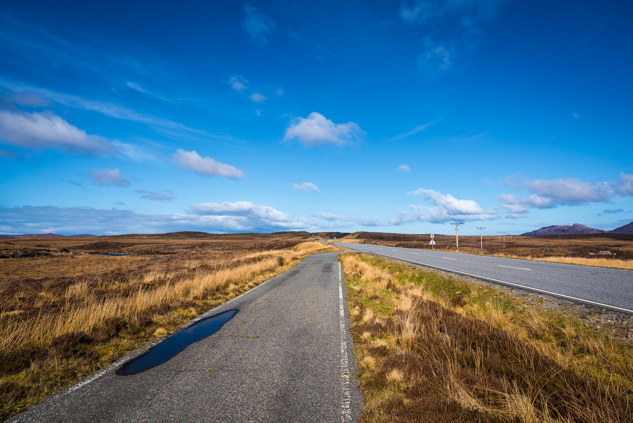
The Hebway crosses the island and leads to an old grave, wich we also visited. Then the path follows the old Roadtrack for many kilometers, which is easy to walk but also boring. We first wanted to buy some food in Lochmaddy, but when we arrived there it was already to late, so we went back to the route and put up our tent somewhere on a small mountain next to a standing stone.
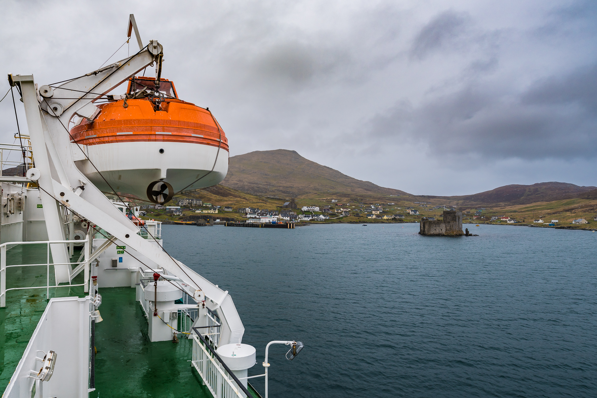
Berneray
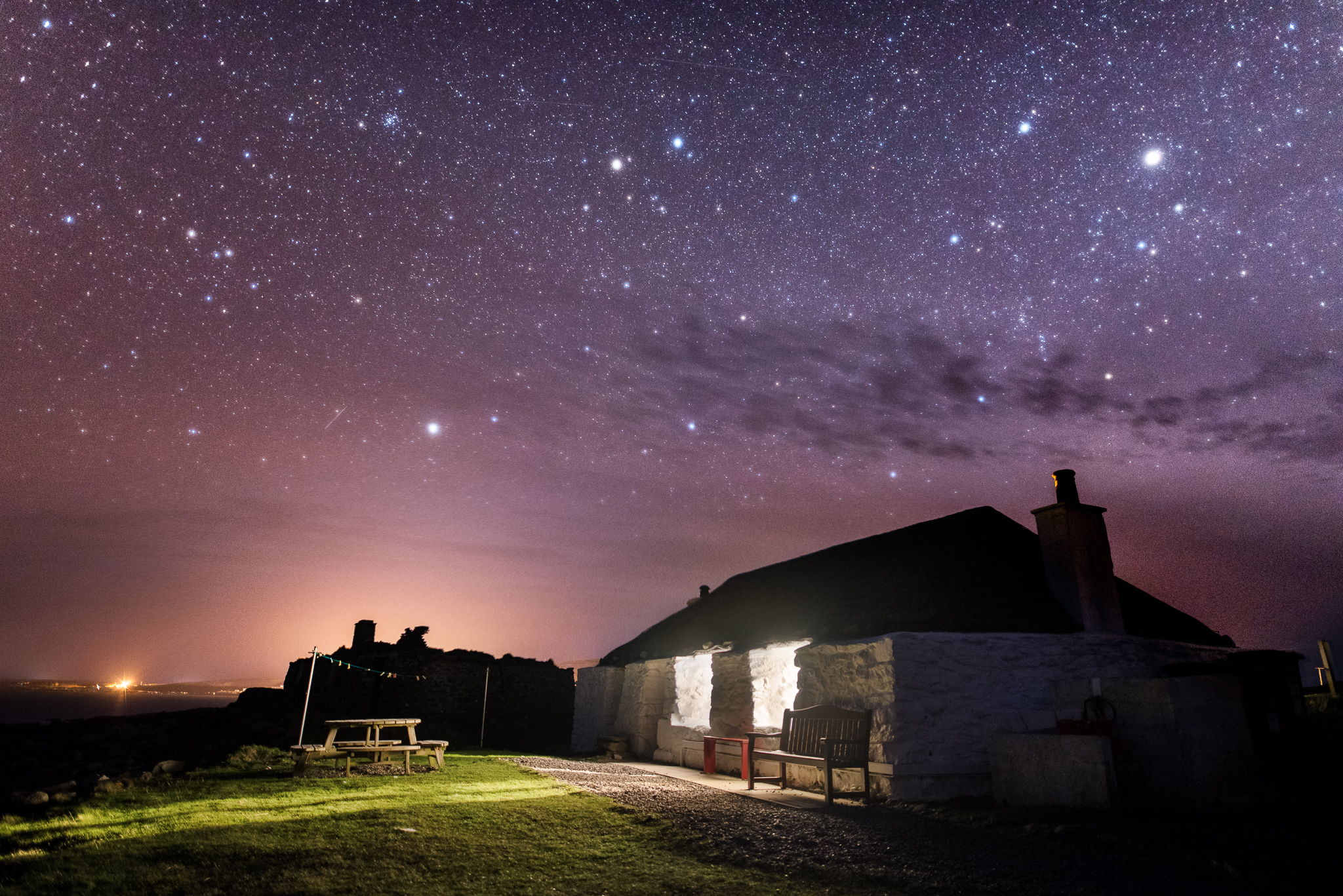
On our last walking day, we had everything the Hebridean way serves in a few hours together. We startet walking thorugh rough moorland,climbed one hill and visited the lovely beaches in Berneray. Because we had such a great time in the Gatliff Hostel in Howmore, we decided to spent the night in the hostel on Berneray. When we arrived at the Ferryport, we realised, that it is about 3.5 miles from the hostel to the ferry. If you already walked about 15 Miles that day, these 3.5 miles can become a very long distance. But when we arrived at the hostel, it was worth every step. We found a dream of a house, that we had completely on our own. The perfect location for our last night on the Hebridean Way.

Way back
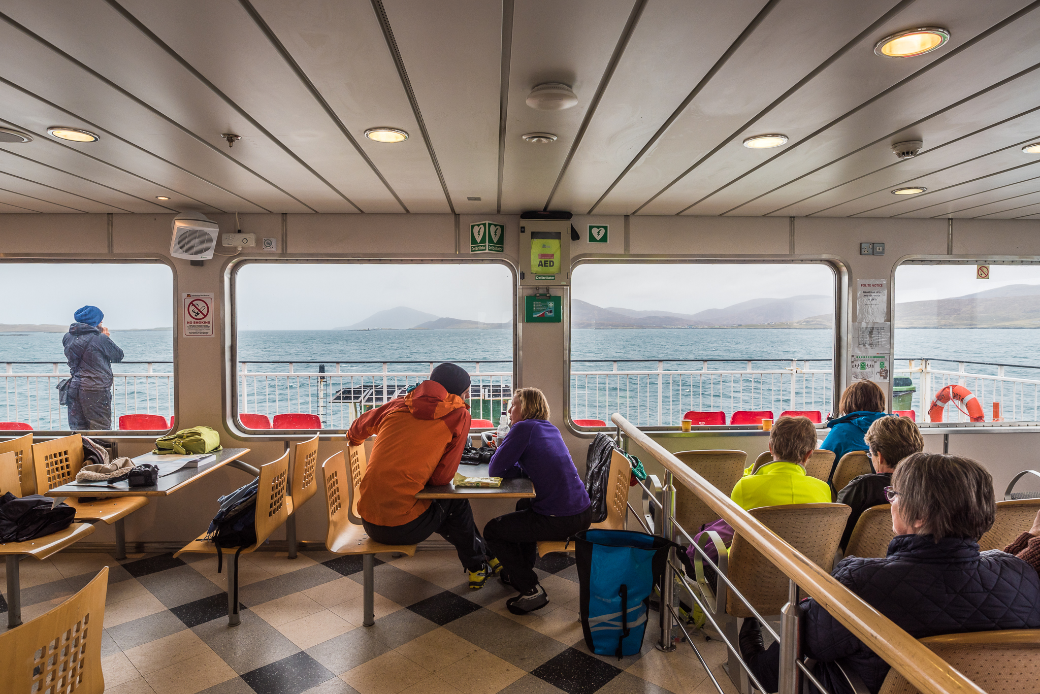
The next morning, we got up early, walked back to the ferry pier and took the 8 o’clock ferry to Leverburgh. There we took a bus to Stornoway, from where we took a plane back to Glasgow, then a bus to Edinburgh and a plane back to Germany. All in all we had a fantastic week, although it was a really wet and cold one. We met many fantastic people and spent a week in a truly beautiful landscape. When we sat in the plane back to Germany we decided to do the second part of the Hebridean way next year. But maybe a bit later, so that it is warmer outside…

Many thanks to Richard Barret, who gave us information about the way. He wrote a guidebook about the way, that we can highly recommend, we had a gps reciever and OS Landranger Maps, but without the book we would still search for the right path in Barras mountains.
I hope that this blog entry will give a bit of motivation, feel free to ask questions about our path, you can download our GPX file if you want, but you must notice that this is not always the official route of the Hebridean Way. Sometimes we couldn’t find marker posts, other times we decided to take another route, because i wanted to take a photo or something. And one time the GPS crashed…
Enjoy your time!